
The first thing I have to say about this peak is “beware of false prophets”. Many hilltops and even many hilltop churches in Cyprus are named Profitis Ilias — he was a popular guy, so make sure you activate the right one. This isn’t hard, though, the GoogleMaps link from the SOTA Summit page took me right to the correct peak, an 8-point summit north of Paphos and about a two-hour drive from Nicosia.

There is a road right to the church near the summit, but is is pretty rough at points. I took the coastal highway and turned northward, and all the roads were fine except for the last fifteen minutes or so. The mostly dirt road to the summit is in good shape, but it is single lane and steep at points, so probably best to have a four-wheel drive vehicle. Some of the hairpin turns are very sharp, so larger vehicles may need to perform a series of partial turns to get around them.

At one point (A on the map), you will pull even with the summit, which is on the far side of a planted field. The road takes a counterintuitive turn downward and away from the summit at this point, and you may find yourself wondering if it wouldn’t just make more sense to take a direct approach to the summit from there, and the answer is that it might, but not with a car.

There is plenty of room to pull over at point A without obstructing the road, so I parked and walked through the field. On the more detailed aerial photo below, it looks like there is a road that wraps around this field and then ramps diagonally up to the activation site, allowing you to avoid driving completely around the summit. The fact is that there no way to drive across this field without trampling the crop. There is the beginning of track, but it fades quickly. It is fine, however, for walking.

So, I walked to point B and took stock of my options. Between the planted field and the grassy field above is a steep wall of rock for most of the way, but at the southern end, it is a more gentle slope up. There is a (sort of) footpath at the southern end wraps up the hill towards the track that runs up towards the road leading to the activation site. There is definitely no vehicular track at that end of the field, though. Looking at the topographic map, I believe you could climb up the foot path and find the diagonal track towards the summit.

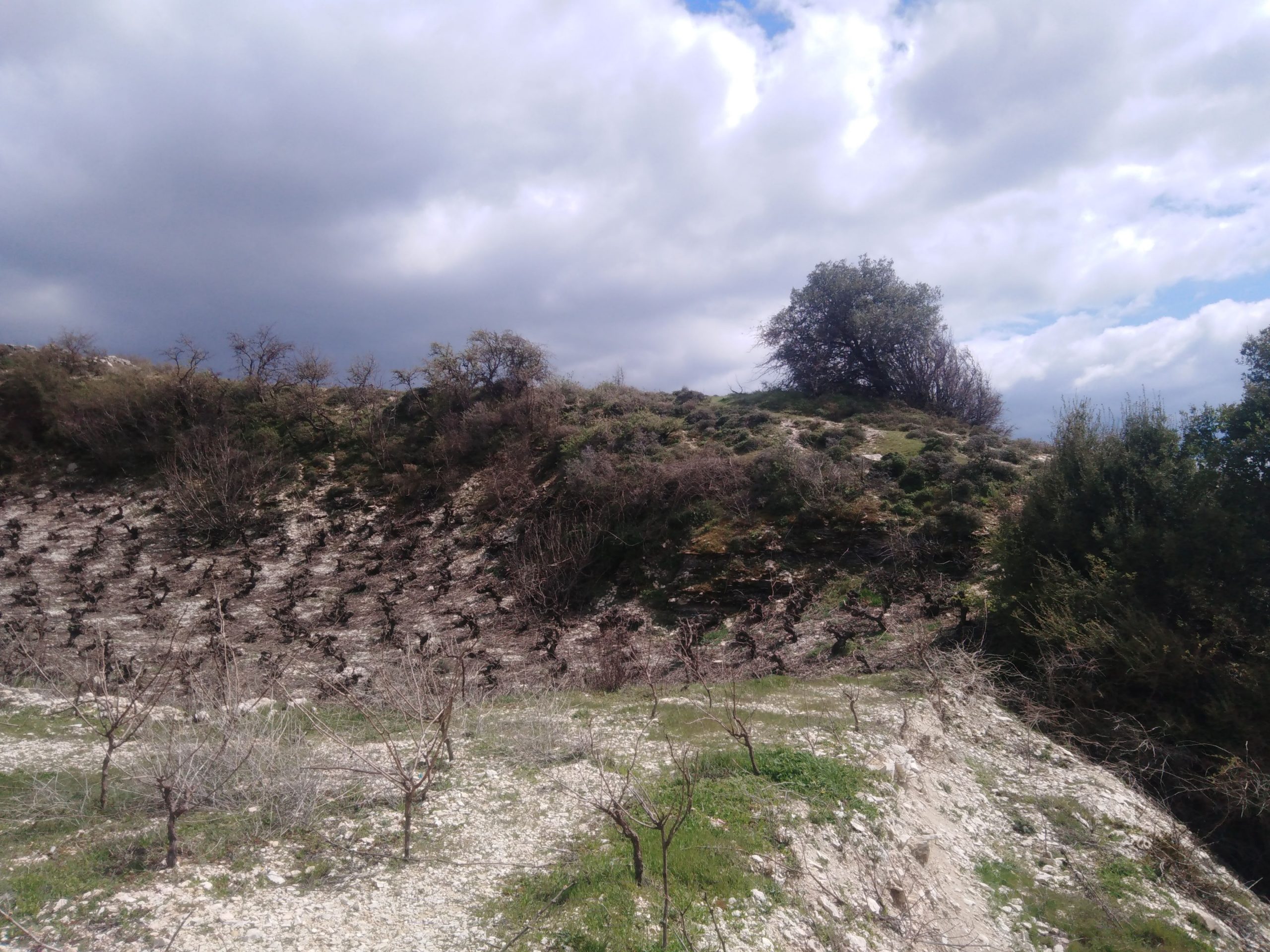
It is relatively flat once you are up on that green area, but it would not be possible to go directly east to the summit because there is another fairly vertical rise just to the west of the summit — it would be necessary to follow the track diagonally up to the road and then take that road south again towards the summit.
Since I had the BuddiPole along and was relatively weighted down, I decided to see what the road alternative looked like as well. The road descends sharply and then runs along the base of tall cliffs — the scene reminded me of the first pictures of the Jezero Crater sent back from Mars by the Perseverance rover.

That road turns up and to the right past those cliffs and the road quality improves as you approach a lookout station near the top of the hill. The road continues southwards past a picnic shelter to the Profitis Ilias church itself.

I looked around the field just to the north of the church and set up next to the trig point (Point C), which is a little beaten up, but recognizable.

There is a great view in all directions, and perhaps most importantly, the take off towards continental Europe (and beyond that, North America) is entirely unobstructed.

The site was quiet on HF, which helped me pick out some weak signals including two S2S contacts (thanks EA1AER/P, 3445 km away on EA1/LE-265, and OE5EEP/P, 2101 km away on OE/OO-345 — I only wish the number of summits in Cyprus ran into the triple digits). In all, I logged 79 contacts from 30 meters up to 17 meters. I was having such a good time, I even plugged the microphone in for a bit at the end and had a few SSB QSOs.
